Greenham History
Location
Greenham is now a civil and ecclesiastical parish on the south-eastern border of Newbury. Despite the village's ancient allegiance to Thatcham, of which it was a tithing, Newbury has twice taken bites from the parish as boundaries were realigned. On the first occasion, in 1878, a group of regulars at the Adam and Eve pub in Stroud Green elected their own mock mayor and council in protest.
Today the civil parish of Greenham extends from the Kennet to the Enborne, and from the back of the Andover Road eastwards to a dotted line which meanders through Bowdown Woods, across the common to the A339.
Local place names include Bury's Bank, Bowdown, Crookham, Stroud Green, Pyle Hill and Pigeon Farm.

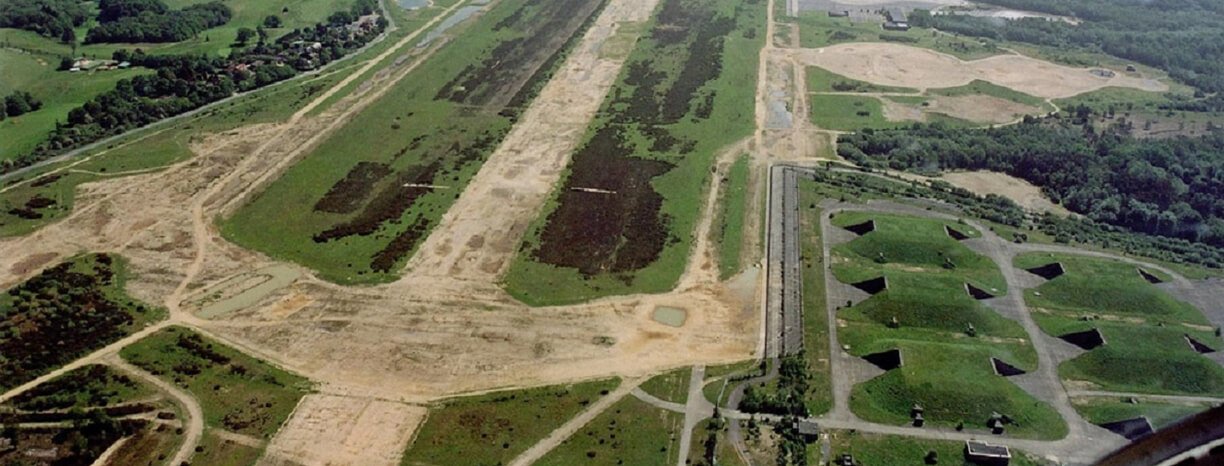
Greenham Common Bunkers
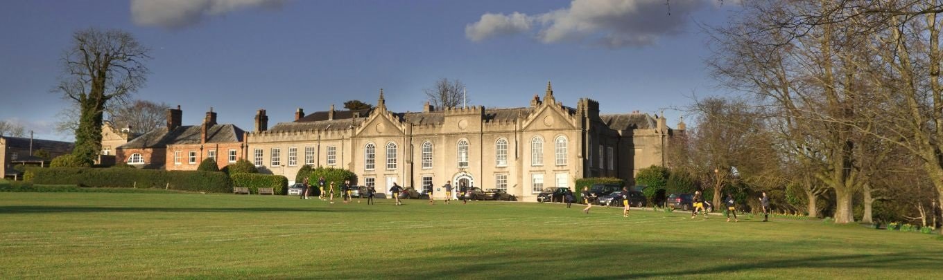
Sandleford House
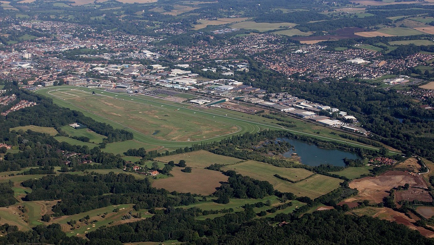
Newbury Racecourse
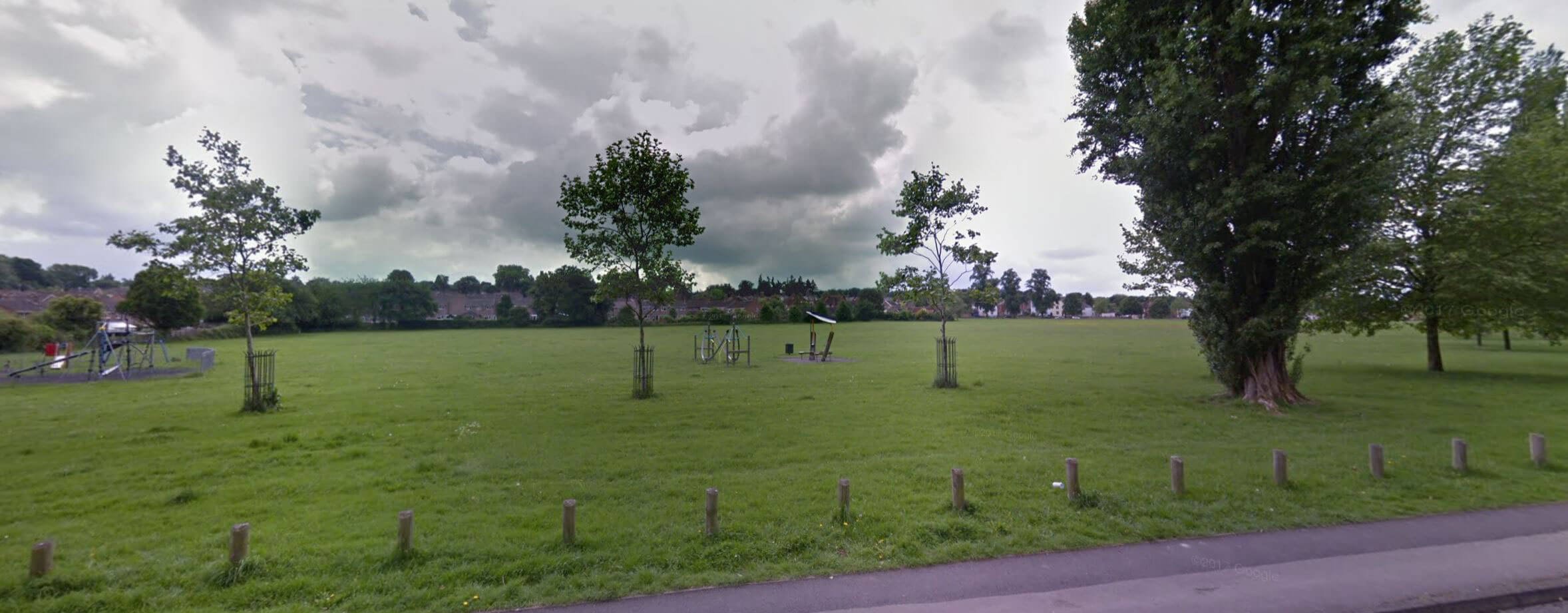
Stroud Green
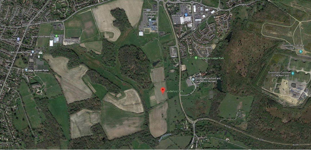
Sandleford Park
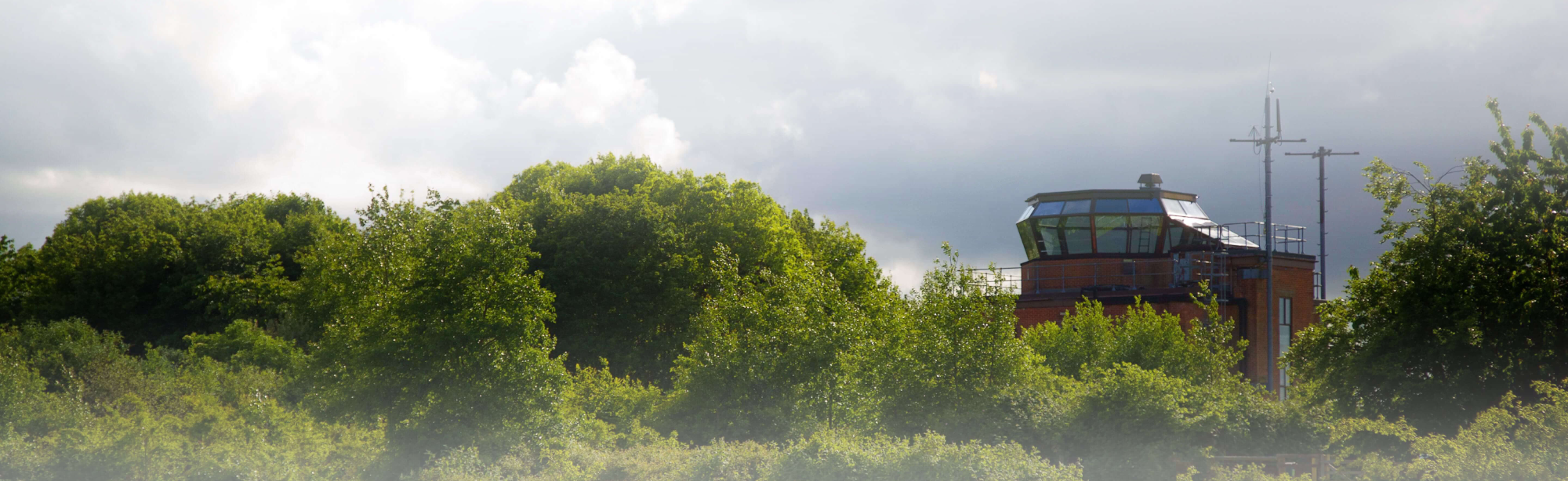
Greenham Common
Statistics
Size: 13.6 square kilometres (5.3 sq mi)
Population: 3,628 in 2011; 1,182 in 1851
Registration district: Newbury
Present-day local authority: West Berkshire District Council (unitary)
Current adjoining parishes: Newbury; Thatcham; and in Hampshire Highclere; Newtown; Burghclere; Ecchinswell, Sydmonton and Bishops Green; Ashford Hill with Headley.
Census returns
West Berkshire Library has census returns for Greenham on microfilm/fiche and an index to the 1851 census.